
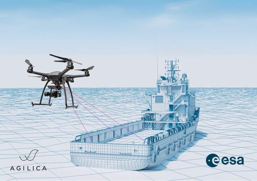
Belgium-based Agilica BV has completed a feasibility study to develop an Alternative PNT (Positioning, Navigation, Timing) system that would enable “precision drone navigation and landing in environments where GNSS signals are degraded or unavailable.”
 In a statement, Agilica explained that “The European Space Agency (ESA)-funded study validates the technical and commercial viability of the AGL system integrating GNSS receivers into the infrastructure for seamless transition to and from GNSS in high-impact applications, including drone landings on moving vessels, operations in indoor facilities, and autonomous deliveries in complex urban or offshore environments.”
Bart Scheers, Agilica’s COO, said, “Landing a drone on a moving ship in dynamic conditions is one of the toughest challenges in drone autonomy. Our AGL system is built to solve this — not by replacing GNSS, but by augmenting it. This feasibility study confirms that our patented UWB approach can extend PNT services, with sub-20 cm precision in GNSS-denied zones.”
Agilica reported that the AGL system is based on time-of-flight UWB technology and “functions like a dedicated terrestrial GNSS network — delivering centimetre-level accuracy and resilience in metallic, weather-challenged, or GNSS-compromised environments where vision-based systems and QR codes fall short.” The company said that the study “represents a critical step on the commercialisation roadmap of Agilica’s core product — the AGL system — by adding built-in compatibility with GNSS and Galileo High Accuracy Service (HAS) to their Ultra-Wideband (UWB) positioning solution for drones in the maritime, logistics, and urban air mobility sectors.”
Source: Press Release


Comments