

Our weekly “Around the Commercial Drone Industry” news round-up looks at drones deployed for herding cattle in Australia, how uncrewed systems are making a difference in law enforcement, and a “digital ecosystem” that’s letting drone operators in Detroit better plan their routes.
Remote Drone Cattle Herding in Australia
From Beef Central comes a story about the use of UAVs in cattle herding. At the recent Beef 2024 event, Luke Chaplain, a cattle producer from Queensland, contacted an operator at drone handling facility on the Gold Coast using Starlink satellite technology. They then began the process of mustering cattle remotely using a SkyKelpie drone in what Chaplain called a “world first” remote drone muster.
A champion for the use of drones on farms, Chaplain “was awarded a Nuffield Scholarship in 2022" and "travelled to several countries across the world looking at other examples of drone mustering and the latest technology.” Moreover, “He also completed a study with Meat & Livestock Australia and the Qld Department of Agriculture which found numerous benefits of drones.”
Drones Find Thieves in Pennsylvania
In Bensalem Township, PA, local police are using drones to quickly locate and apprehend thieves. According to a report from WPVI-TV Philadelphia, Bensalem police have “a small fleet of drones that are quickly launched after a local retail theft is reported.” The vehicles “have been able to arrive on the scene consistently within two minutes as the operator pans the camera to find someone matching the description of the suspect.” This quick response has enabled the police to reach a 62% clearance rate for retail thefts—significantly higher than the national average. Based on their success, the Bensalem Police Department hopes to “inspire other departments to install similar programs to help find thieves who come in from out of town, or even from out of state.”
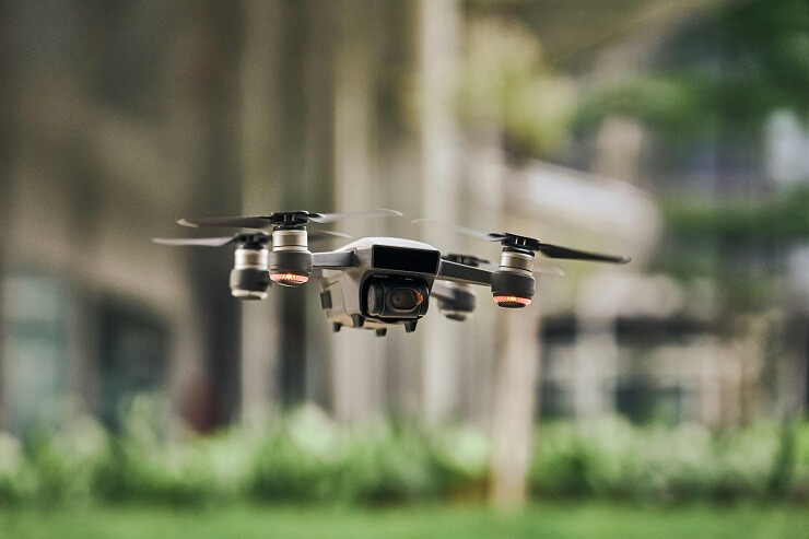
Digital Systems Enable Better UAV Flight Planning
A digital ecosystem created by the Detroit start-up Airspace Link “enables users to plan routes based on specific restrictions and requirements.” A report by Michigan Public (NPR) explains that Airspace Link “provides real-time information on clearance, height restrictions, and restricted airspace” in order to “ensure safe and compliant drone operations in accordance with Federal Aviation Administration (FAA) regulations.” To implement this “Google Maps for drones,” Airspace Link is partnering with the Michigan Economic Development Corporation and Michigan Central.


Comments