Subscribe
The information you submit will be stored and used to communicate with you about your interest in Commercial UAV News. To understand more about how we use and store information, please refer to our privacy policy.

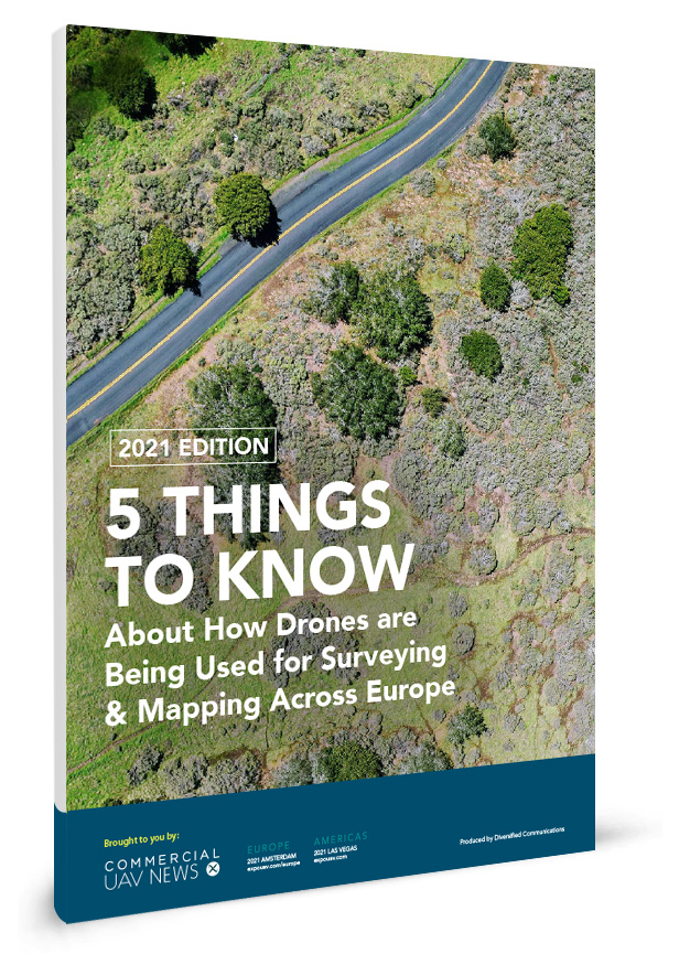
2021 Edition: 5 THINGS TO KNOW About How Drones are Being Used for Surveying & Mapping Across Europe
According to a June 2018 study conducted by Drone Industry Insights (Droneii), 79% of commercial drones in Europe are used for surveying and cartography.
These numbers are only going to grow over the next few years, which takes into account the impact of COVID-19, and that underlines the need for industry professionals to stay up-to-date on the latest trends.
This new report by Commercial UAV News highlights the most impactful and innovative companies and recent use-cases for drones in the surveying & mapping space, and how regulations, market conditions and continued fallout from COVID-19 will ensure these applications are further leveraged.
Among the topics it covers are:
- Making Infrastructure Surveying Faster, Cheaper and Safer
- Surveying to Enable Cultural Preservation
- Construction Surveys
- Drones and Their Impact on Environmental Practices and Policy
- Mapping to Enable Wildlife Protection and Preservation
Fill out the short form below to download the full report and learn the details on these important business uses for this varied and dynamic technology.
Presented by


